A One-Day Intensive Workshop for
Health Professionals and Researchers
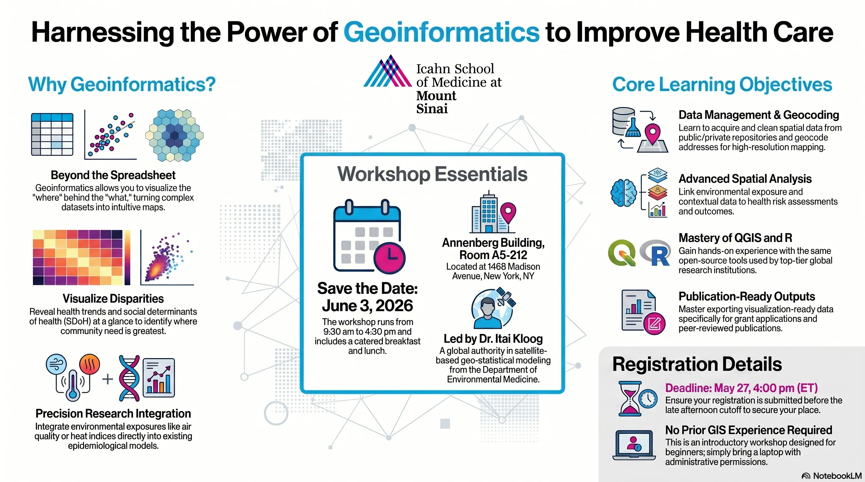
June 3, 2026
9:15 am - 4:30 pm
Annenberg Building, Room A5-212
1468 Madison Avenue
Offered by the Icahn School of Medicine at Mount Sinai
Department of Public Health in collaboration with the
Department of Environmental Medicine
Map the Future of Health: 3rd Annual Geoinformatics Workshop
Master the spatial tools defining the next generation of precision medicine and public health.
Data is only as powerful as your ability to see it. In modern health care, a patient’s zip code is often as predictive as their genetic code. The question isn't whether spatial data matters—it’s whether you have the skills to leverage it.
The Department of Public Health invites you to a high-impact, one-day intensive designed to move you from GIS novice to spatial data practitioner.
Why This Workshop?
While most data stays trapped in spreadsheets, Geoinformatics allows you to visualize the "where" behind the "what." This workshop is specifically curated for clinicians, researchers, and administrators who need to:
- Visualize Disparities: Turn complex datasets into intuitive maps that reveal health trends and social determinants (SDoH) at a glance.
- Precision Research: Integrate environmental exposures—like air quality or heat indices—into your existing epidemiological models.
- Operational Excellence: Optimize hospital resource allocation and community outreach by seeing exactly where the need is greatest.
Learn from a Global Authority
This isn't a generic software tutorial. You will be taught by Itai Kloog, PhD a world-renowned leader in satellite-based geo-statistical modeling and several of his esteemed colleagues. They will have you move beyond theory into a "learn-by-doing" environment, using the same open-source tools (QGIS, R) used by top-tier global research institutions.
The ROI: What You’ll Gain
By the end of this day, you won't just understand GIS; you will be able to:
Acquire and Clean spatial data from public and private repositories.
Geocode addresses to create high-resolution thematic maps.
Perform Spatial Analysis to link environmental exposures to health outcomes.
Export Visualization-Ready Data for publications or grant applications.
Workshop Logistics
Date: Wednesday, June 3, 2026
Time: 9:15 am – 4:30 pm (Catered breakfast and lunch included)
Location: Room A5-212, Annenberg Building, 1468 Madison Avenue
Requirements: No prior GIS experience required. Just bring a laptop and a drive to learn.
Registration & Pricing*
Mount Sinai Employees & Staff: $550/pp total
🔹 Potential funding available through CTSA for faculty and post docs—apply during registration.
Register here
Non-Mount Sinai Participants: $750/pp total
Register & pay here
Registration deadline: Wednesday, May 27, 4:00 pm (ET)
*includes breakfast and lunch